WhiteboxTools for Processing
Integrates WhiteboxTools into QGIS Processing framework.
WhiteboxTools is a set of geospatial data analysis tools developed by Whitebox Geospatial Inc. WhiteboxTools can be used to perform common geographical information systems (GIS) analysis operations, such as cost-distance analysis, distance buffering, raster reclassification and much more.
Plugin fully supports WhiteboxTools 2.3.0 as well as its extension toolsets.
Note
Please note, that the plugin does not include WhiteboxTools itself. To use the plugin you need to install WhiteboxTools. Visit Whitebox Geospatial Inc. homepage for installation instructions and packages.Usage
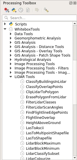
Once installed and enabled, the WhiteboxTools for Processing plugin is registered as a Processing provider and its algorithms are added to the Processing toolbox under the “WhiteboxTools” group.
You may need to configure the provider before using its tools. Open QGIS options from the menu “Settings → Options” and go to the “Processing” tab. Expand the “Providers” group and find “WhiteboxTools” sub-group, here you will find all settings related to the WhiteboxTools provider.
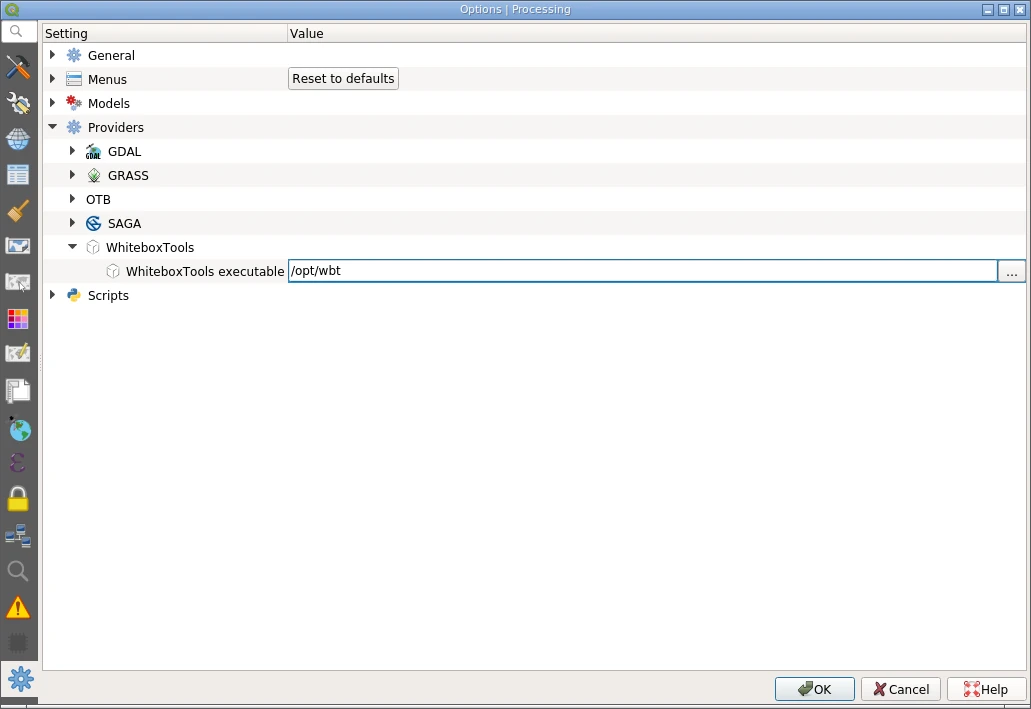
It is necessary to tell the plugin where to find WhiteboxTools executable. If this setting is not set, the plugin will assume that corresponding location was already added to the PATH environment variable and the tools accessible by name. When done, save settings by pressing “OK”.
WhiteboxTools algorithms can be used as any other Processing algorithm: in a standalone mode, as a batch processes, as a part of the models and scripts, using qgis_process command line tool. Please refer to the QGIS User Guide to learn how to use Processing tools.