TauDEM for Processing
Integrates TauDEM into QGIS Processing framework.
TauDEM (Terrain analysis using Digital Elevation Models) is a suite of tools for the extraction and analysis of hydrologic information from topography as represented by a DEM.
Usage
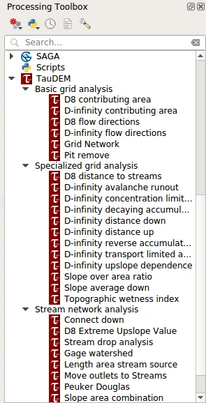
Once installed and enabled, the TauDEM for Processing plugin is registered as a Processing provider and its algorithms are added to the Processing toolbox under the “TauDEM” group.
You may need to configure the provider before using its algorithms. Open QGIS options from the menu “Settings → Options” and go to the “Processing” tab. Expand “Providers” group and find “TauDEM” sub-group; there you will find all settings related to the TauDEM provider.
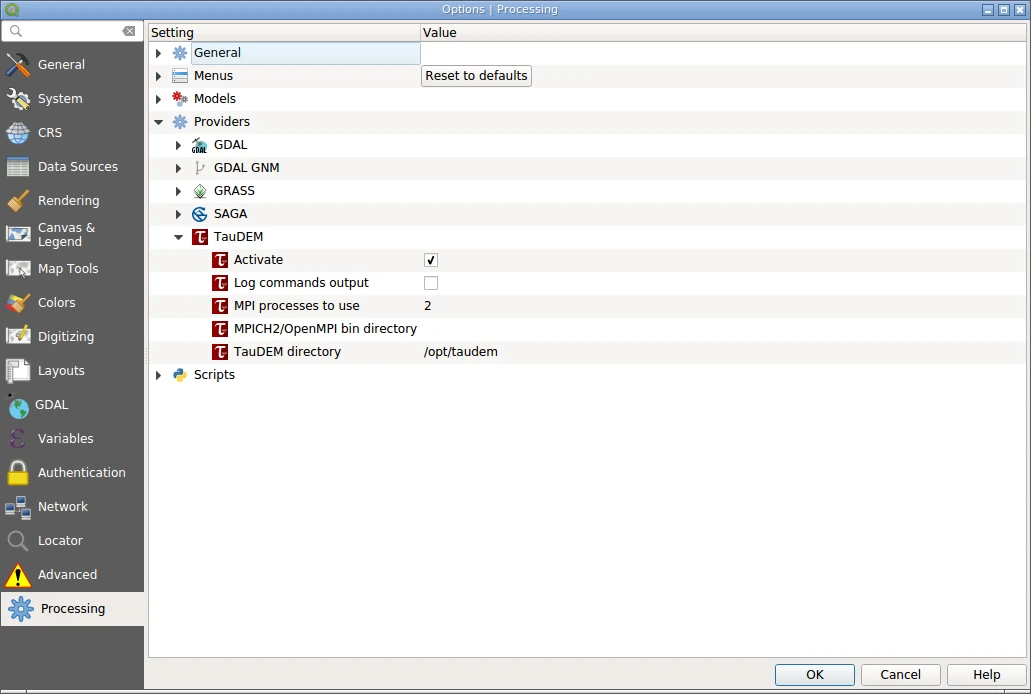
It is necessary to tell the plugin where to find the MPICH/OpenMPI executable, as well as the TauDEM tools executables. If these settings are not set, the plugin will assume that their locations were already added to the PATH environment variable and the tools accessible by name. Finally, adjust the number of processors which will be used by MPICH/OpenMPI. When done, save settings by pressing “OK”.
TauDEM algorithms can be used as any other Processing algorithm: in a standalone mode, as a batch processes, as a part of the models and scripts, using qgis_process command line tool. Please refer to the QGIS User Guide to learn how to use Processing tools.
For more details about TauDEM tools please refer to their documentation. Also you may want to read blog post “Hydrology analysis with TauDEM and SEXTANTE” showing how to perform some hydrology analysis tasks with TauDEM.