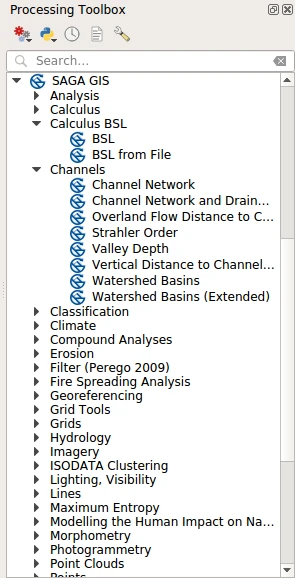
SAGA for Processing
Integrates SAGA tools into QGIS Processing framework.
SAGA (System for Automated Geoscientific Analyses) is a free, hybrid, cross-platform GIS software. Its main objective is to give scientists an effective but easily learnable platform for implementing geoscientific methods as well as a fast-growing set of geoscientific methods ready to be used in numerous applications.
Usage
Once installed and enabled, the SAGA for Processing plugin is registered as a Processing provider and its algorithms are added to the Processing toolbox under the “SAGA GIS” group.
You may need to configure the provider before using its algorithms. Open QGIS options from the menu “Settings → Options” and go to the “Processing” tab. Expand “Providers” group and find “SAGA” sub-group; there you will find all settings related to the SAGA provider.
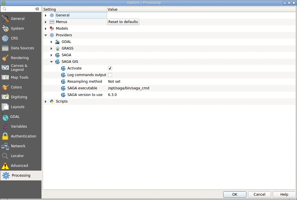
If you have multiple SAGA versions installed, it is necessary to select which SAGA version should be used by the plugin. This can be done with “SAGA version to use” combobox. Also, it is necessary to specify the correct path in the “SAGA executable” field. If this setting is not set, the plugin will assume that corresponding location was already added to the PATH environment variable and the tools are accessible by name.
The “Resampling method” combobox allows to control which resampling method to use when converting rasters into SAGA’s native binary format. The default value “Not set” means that the provider will use the default value as reported by the selected SAGA version.
The “Align raster to coordinate system when importing” checkbox allows to control weither raster will be aligned to the coordinate reference system when importing.
When all neecessary changes are made, save settings by pressing “OK”.
SAGA algorithms can be used as any other Processing algorithm: in a standalone mode, as a batch processes, as a part of the models and scripts, using qgis_process command line tool. Please refer to the QGIS User Guide to learn how to use Processing tools.
Documentation for SAGA tools can be found at its homepage.