Openlittermap
Download litter data from the OpenLitterMap project for further analysis and visualisation.
OpenLitterMap is a crowdsourcing project aimed at collecting data on the world’s litter and plastic pollution. The OpenLitterMap for Processing plugin simplifies the process of downloading data from the project’s database for further analysis and visualisation.
Usage
Once installed and enabled, OpenLitterMap plugin is registered as a Processing provider and its algorithms are added to the Processing toolbox under the “OpenLitterMap” group.
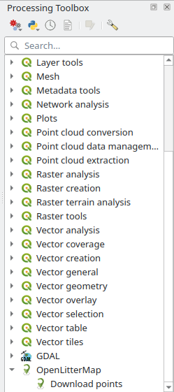
For now, there is only one algorithm available, which downloads raw data (points) from the OpenLitterMap database.
OpenLitterMap algorithms can be used as any other Processing algorithm: in a standalone mode, as a batch processes, as a part of the models and scripts, using qgis_process command line tool. Please refer to the QGIS User Guide to learn how to use Processing tools.