QGIS hackfest 2009 (Vienna)
24.11.2009 08:05 · Notes · qgis, travels, meetings
It’s been almost a month since I returned from Vienna and I still haven’t written anything about hackfest. I’m not a good writer.
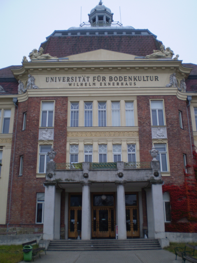
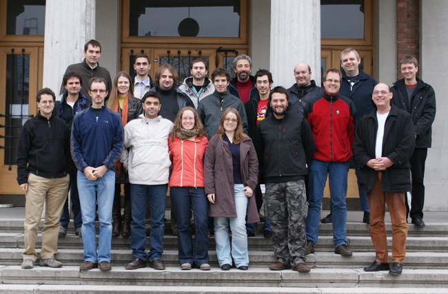
In early November, a QGIS developer meeting took place in Vienna, Austria. This meeting was the second of its kind (the first was held in Hannover, Germany in the spring) and was more crowded and, according to those who attended the first, more interesting and productive. I can confirm this. We really had a great time, met interesting people and did a lot. A good overview of the hackfest has already been written by Tim Sutton, I recommend reading it even if your English is not very good — it is very interesting and easy to read.
The first day of the hackfest started with a presentation of the symbology-ng branch and the new labelling engine (Martin Dobias). The presentation was impressive and the discussion that followed was very active. As a result of the discussion, it was decided to integrate symbology-ng into the trunk branch, and to make the new labelling engine available as a plugin. This was soon done: nightly builds with these new features are already available, and Martin is still working on improvements and bug fixes. The final switch to symbology-ng is planned for version 2.0.
The next presentation was about integrating Ossim Planet into QGIS (Massimo Di Stefano). Unfortunately, we should not expect this feature to appear in QGIS any time soon due to the large number of dependencies and the need to make large changes to the code. He also showed a patch developed by one of the community members that adds tabs with multiple map canvases to QGIS.
On Sunday Martin Dobias presented his other project — qgismapper. The goal of this project is to automate and simplify mapping. All you need is a car equipped with GPS, photo/video cameras (Martin showed a version with 6 video cameras), a compass and a computer running QGIS. In addition, it is desirable to have a separate operator :-) to keep your attention on the driving process.
Presentations, although I describe them the most, were not the main goal and “feature” of the hackfest. The main priorities were: adding new features and functionality, bug fixing, translating documentation/interface, discussing various issues (from icons to plans for version 2.0).
All of this was broadcast live on USTREAM.TV (Milena’s area of responsibility). Unfortunately, there are only recordings of the presentations left. The video and audio quality is far from ideal, but you can get a general idea.
I came to the hackfest without a clearly defined goal, but immediately found many applications for my rather modest knowledge and skills.
Fulfilling a request posted on a forum, I looked at the keyboard shortcuts manager code and made a patch to add the ability to import/export shortcuts. The patch was accepted the same day (thanks, Martin!).
I have also worked as a translator, translating the QGIS interface into Ukrainian and finalising my earlier translation of the context help into Russian.
I had a chance to talk to the fTools author in person and provided him with two more patches that improve the “Basic statistics” tool and the overall functionality of the plugin. By the way, Carson is in the process of rewriting fTools in C++. This should significantly improve the performance of some of the tools and also provide other developers with a convenient interface for using the analysis functions in their plugins. I will help him where I can.
At the end of the first day of the hackfest, I had the spontaneous idea to give a presentation about the “Geosample” dataset I had brought along for testing. The dataset attracted everyone’s attention, so I decided to give a short talk about the aims of its creation and the principles that went into it.
If there is one presentation, why not make two? The second presentation was about the PADB - an plugin for maintaining the cadastre of protected natural areas, in the development of which I am also involved. The presentation was “on topic” because one of the discussions was devoted to creating a set of tools for solving ecology/forestry/environmental protection problems (so called Ecology Tools).
If there is one presentation, why not two? The second presentation was about the PADB — a plugin for maintaining the cadastre of protected natural areas, in which developing I am also involved. This presentation was “on topic” because one of the discussions was about creating a set of tools for solving ecology/forestry/environmental protection problems (so-called Ecology Tools).
I am very pleased with the results of the trip and hope to be able to attend the next meetings.
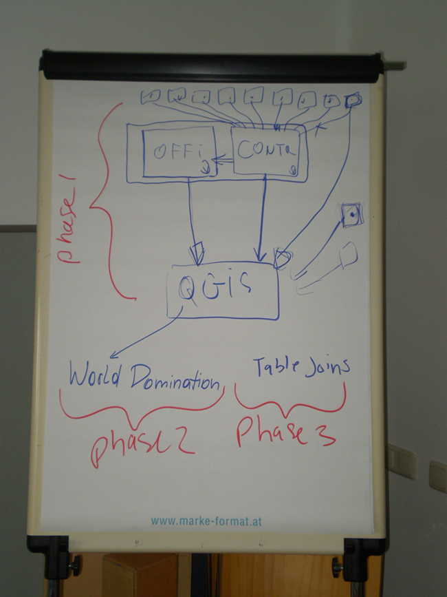
The weather was not very good, so there are not many photos, and most of them can be found on Tim’s blog. I’ll just post a few here.